Navigation:  . : Home  . : Research  . : Lecturing  . : Publication  . : Links  . : Impressum  

 . : Habitat modeling


Geomorphological changes around the habitat improvment structures at Nesheim


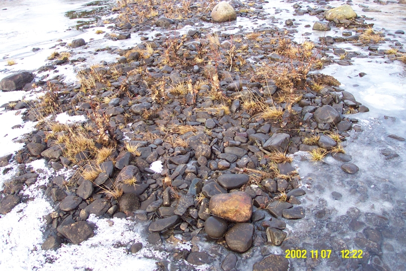
Habitat improvement stuctures are often buildt in many regulated rivers. The structures can be groynes made of stones or artificial pools. If the river carries sediments, there may be deposition around the structures. Also, groynes made of smaller stones may be eroded. The purpose of the current project is to test a CFD model that computes the bed changes around the habitat structures.

Figure 1: Regional background


Figure 2: Situation in Dalĺa river at Nesheim before changes


Figure 3: Sketch of the planned riverbed changes


Figure 4: Geodata points which are used to generate the 3D grid


Figure 5: Generate 3D grid


Figure 6: Computed depth from the field measurements after the changes


Figure 7: Situation in Dalĺa river at Nesheim after changes


Figure 8: Plan view of the velocity vectors at the surface and the contour plot of the water depth (values in metern)


The project is carried out in cooperation with the Norwegian Water Resources and Energy Directorate (NVE) and SINTEF. The project is sponsored by the Norwegian Water Resources and Energy Directorate.


 : . Habitat modeling
 © by NR  Last Update 05.04.2006